GPR (Ground Penetrating Radar) Information
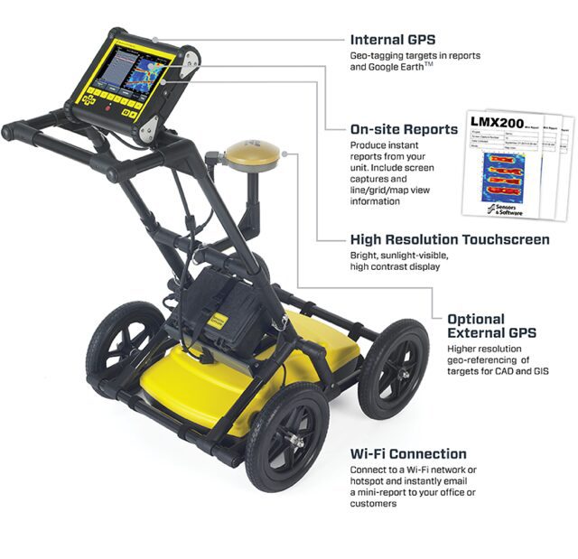
GPR is a geophysical method that uses radio waves (radar) to investigate and capture images of the sub-surface. It's a non-intrusive way of surveying historical or sensitive projects when the destruction of information isn't an option.
GPR can detect disturbed soil caused by:

Cemetery mapping refers to the act of understanding the layout of graves and other elements within the cemetery and documenting those locations. The data recovered will be put in reports for a database. An updated map that outlines everything underground can save time, money, and worries by having a reference point for every dig. These are a few points that we are able to help you with:
