GPR (Ground Penetrating Radar) Information
GPR is a geophysical method that uses radio waves (radar) to investigate and capture images of the sub-surface. It's a non-intrusive way of surveying historical or sensitive projects when the destruction of information isn't an option. GPR has limitations; the most significant one is high-conductivity materials, such as soils high in clay or salt, as well as signal absorption from heterogeneous conditions. Learn more
Cemetery mapping refers to the act of understanding the layout of graves and other elements within the cemetery and documenting those locations. The data recovered will be put in reports for a database. Learn More
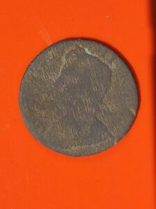
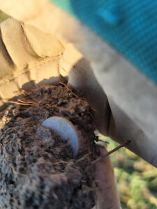
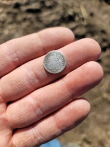
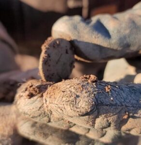
Metal Detecting, as it sounds, is a great way to find metal things, whether it is a special ring (link to Harry's Ring Story), pendant, keys, coins, or other metal items.
Utility Locating homeowners are required to call before they dig, often by calling 811 for the local utility company to come and mark the utilities they own and are aware of. We take it a step further by providing more information to you about your property, such as


